
3D Measurements
Outline
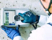
All kinds of structures such as plants, bridges, dams, and buildings can be scanned three-dimensionally with 3D laser scanners to acquire millions of points of information per second and convert them into data. The point cloud data is even more realistic when color information is added to the data captured by the camera.
Since the actual location is digitized, all the site information can be viewed on a computer screen as if the user were actually at the site. Necessary measurements of distance and location information can be taken as well.
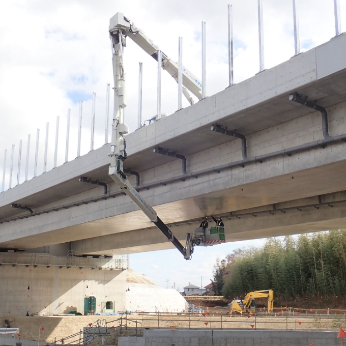
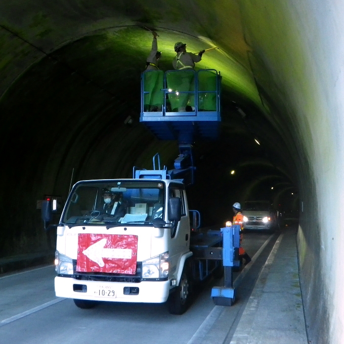
Until recently, measurements were taken directly with a scale or caliper. As a result, people often misread or forgot to take measurements. However, by installing a 3D scanner at the appropriate location on a site and taking measurements, work can be completed more quickly, improving efficiency and allowing measurement of hard-to-reach areas, and therefore enabling safe and accurate 3D point cloud data to be obtained.
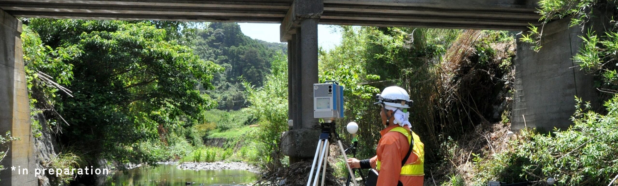
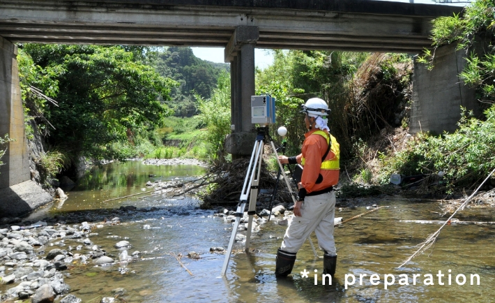
Drones can also be used to survey and measure difficult to access areas, such as steep slopes and areas that could collapse.
Since the actual location is digitized, all the site information can be viewed on a computer screen as if the user were actually at the site. Necessary measurements of distance and location information can be taken as well.
Until recently, measurements were taken directly with a scale or caliper. As a result, people often misread or forgot to take measurements. However, by installing a 3D scanner at the appropriate location on a site and taking measurements, work can be completed more quickly, improving efficiency and allowing measurement of hard-to-reach areas, and therefore enabling safe and accurate 3D point cloud data to be obtained.
Drones can also be used to survey and measure difficult to access areas, such as steep slopes and areas that could collapse.
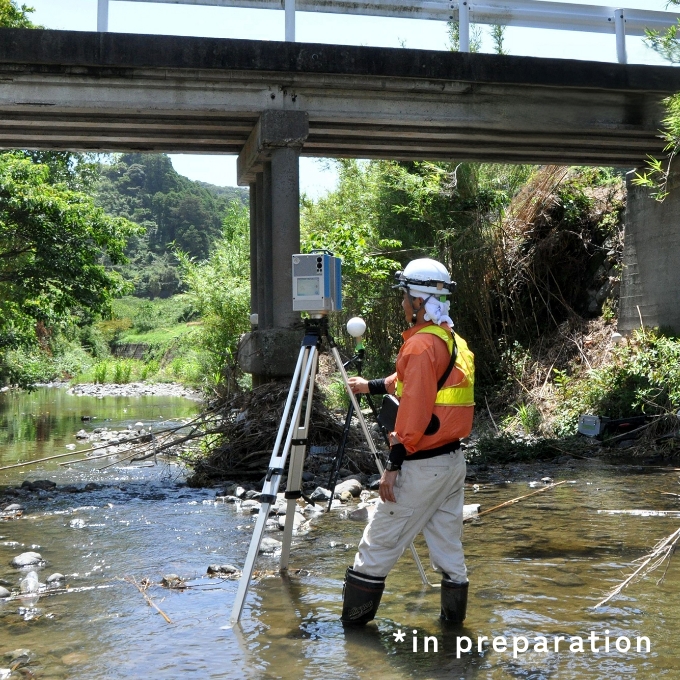
Measurement Methods
A 3D scanner is installed to measure the target object on site. It takes about 20 to 30 minutes to take the measurments, depending on the on the area size and shape to be scanned. If all of the point information cannot be obtained from one measurement position, the 3D scanner is moved to two or three more locations to cover the entire structure to be measured.
The aquired data is then transferred to a computer, processed and edited with processing software, and a 3D model is created.
Please feel free to contact us.
Contact
Please feel free to inquire about
any infrastructure inspections or surveys